
You always need to document and plan a route wherever in this world the mountain is. In doing this you need to take into account a lot of factors which are generally applicable, on any mountain, but also the local factors, such us legislation, climbing culture, local systems, local weather patterns, etc.
Here is some basic information you need to take into account when you plan an outdoor hike in the Romanian Carpathians:
- Where I am allowed to hike and on which trails? Are there any restrictions?

In Romanian Carpathians, with some notorious exceptions (like in parks where, in some case, you may be fined), you may wander on any direction of your choosing, with or without a visible trail. Nobody will tell you not to go.
Thus being said, when going to the mountains everyone talks, given the level of experience, about going on marcate (marked trails) or nemarcate (unmarked) routes. Marked routes are the ones where you follow a sign for orientation and usually there is already a well-defined trail. Unmarked routes designate all the other paths you may take on the mountain and lack a sign for orientation. Be careful though with these ones: usually they are more difficult and/or they lack a well-defined trail so it is harder to orientate yourself and easier to get lost.
All the marked routes should be indicated on a mountain map.
- Orientation while on the route
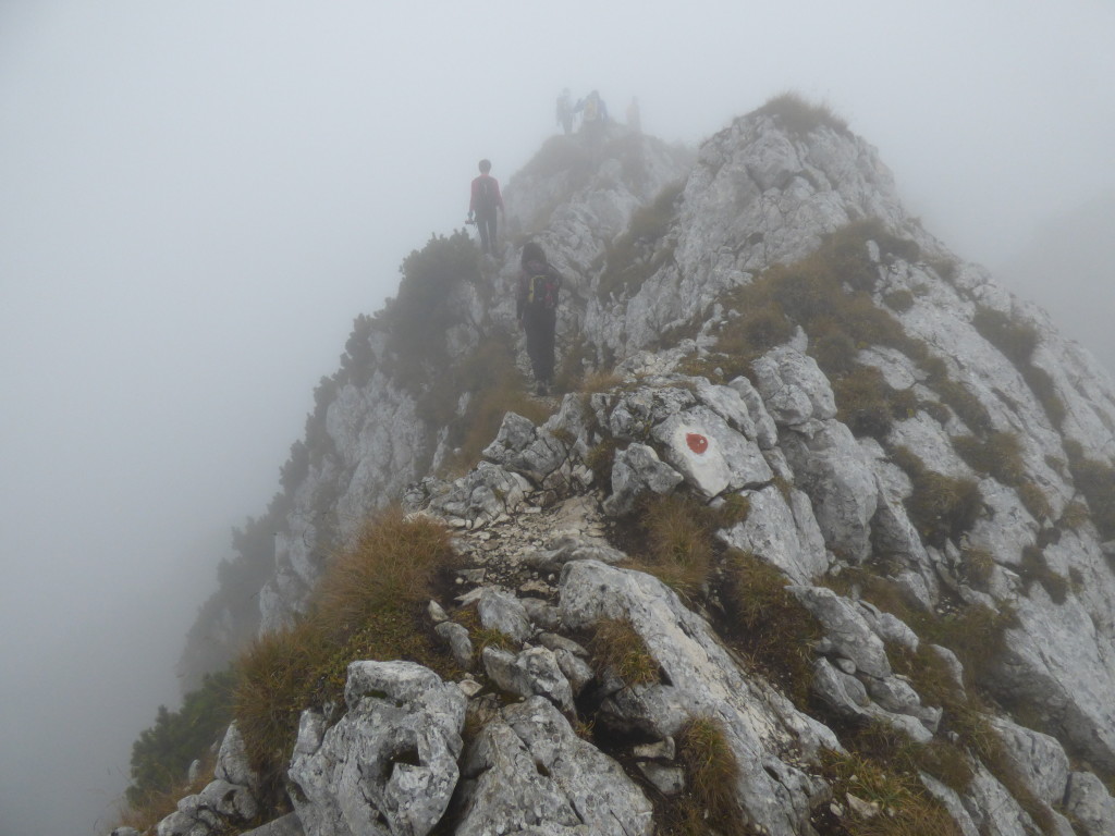
In Romania is used a system of combinations between colors and geometrical shapes. Thus, during your hikes you will find 12 different signs which are the results of the combinations between red, blue and yellow colors (with a white outer edge) and vertical stripes, triangles and circles. Generally the red stripe stands for main ridge sections of the mountains the other marking connecting routes.
The signs are painted on trees, metal or wooden posts or on rocks. In winter, take care because you won’t see those painted on rocks because most probably they will be covered by snow.
From time to time, especially at cross – routes places there will be arrows pointing towards the destination while indicating the remaining time and the sign to follow.
- Estimating duration of a given route
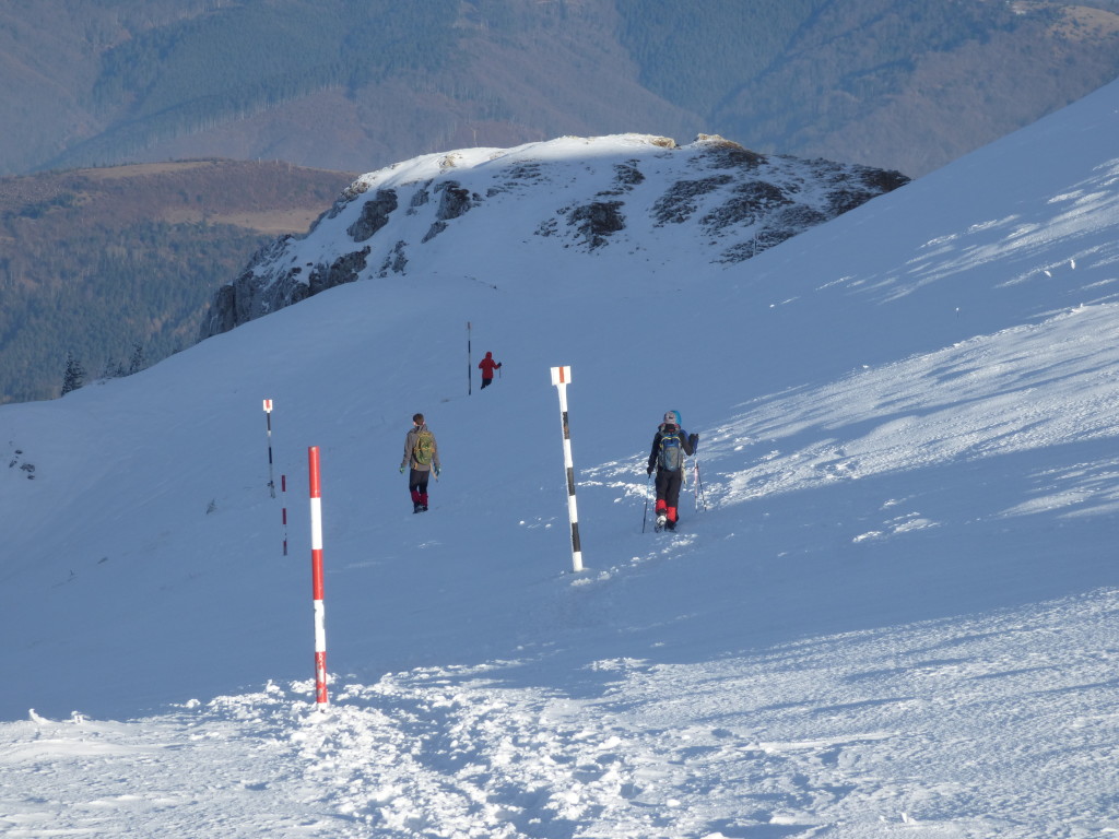
The duration of routes in Romania is indicated on maps and on sign/arrow posts in time units (quarter of hours, half hours, hours) and not distance or elevation difference to cover which take into consideration summer average time for average person carrying average backpacks. Take them as a useful indication not as the exact time you will make until you reach your destination. You might go slower or faster depending on your own physical condition or the terrain conditions on that particular day. Do not count yourself on these indications while hiking in winter. Usually it takes more and sometimes a lot more.
- Difficulty of a given route

You should know that in Romania there is no system (yet) for indicating the degree of difficulty for the tourist routes (there is a standard system for alpinism routes). Neither on maps nor on the sign post along the routes will you find information regarding the difficulty of a route. So you need to document yourself in depth about a given route so as to know precisely what kind of emotions are in store for you: exposure, scrambling, cables for safety or leisure trails.
For winter, almost on every map and description of a more challenging route you will read the following text: Interzis iarna! (This means Forbidden in winter!). But don’t take this to heart; it is just a way to keep unprepared persons away from real dangers. Read it more like this: do not go on this route unless you are adequately equipped for winter, unless you are experienced on winter hikes and unless you are prepared to assume full responsibility for any accidents that may happen to you. Nobody will chase you on the snow route for giving you a fine.